Gulmarg Height from Sea Level
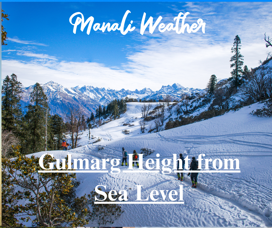
Gulmarg Height from Sea Level & McLeodganj Elevation – Little Lhasa in Himachal
A practical, SEO-friendly guide to Gulmarg height from sea level, McLeodganj elevation, climate, activities and travel tips for high-altitude visitors.

Gulmarg’s snowy bowls and McLeodganj’s hilltop Tibetan culture — elevations that shape weather, activities and visitor experience.
Why elevation matters: from snow sports to Tibetan culture
Elevation affects climate, vegetation, infrastructure and how your body reacts. For travellers and adventure-seekers, understanding the Gulmarg height from sea level and the McLeodganj elevation (sometimes called “Little Lhasa”) helps with planning — whether you’re aiming for powder-skiing on Apharwat or quiet meditation near the Dalai Lama’s residence. This guide on Gulmarg Height from Sea Level unpacks exact elevations, local highlights, seasonal differences, safety tips, and practical travel advice so you can enjoy both destinations safely and comfortably.
Quick facts: Elevation snapshot
| Place | Elevation (approx.) | Highlight |
|---|---|---|
| Gulmarg (village / meadow) | ≈ 2,600–2,650 m (≈ 8,500–8,700 ft). :contentReference[oaicite:0]{index=0} | Base for gondola, skiing and alpine meadows. |
| Gulmarg Gondola (upper) | ≈ 3,950–3,979 m (upper station). :contentReference[oaicite:1]{index=1} | Access to Apharwat slopes and high alpine terrain. |
| Apharwat Peak (highest slopes) | ≈ 4,200–4,390 m (various sources). :contentReference[oaicite:2]{index=2} | High-altitude skiing, panoramic Himalayan views. |
| McLeodganj (Dharamshala suburb) | ≈ 1,770–2,082 m (≈ 5,810–6,831 ft) depending on source. :contentReference[oaicite:3]{index=3} | Tibetan culture, hilltop views of Dhauladhar range — “Little Lhasa.” |
Key elevations sourced from geography & tourism references. See citations for details.
Gulmarg height from sea level — why it’s India’s skiing crown
Gulmarg lies in a bowl-shaped valley of the Pir Panjal range. Most references list the town’s elevation at roughly 2,600–2,650 metres above sea level, making it one of India’s higher alpine resorts. This elevation results in cool summers, long winters, and heavy snowfall — the exact conditions that make Gulmarg a reliable destination for winter sports and heli-skiing.
The Gulmarg Gondola — an engineering highlight — carries visitors from the village up to nearly 3,950–3,979 metres in two phases, providing quick access to high-altitude slopes without long hikes. Above the gondola’s upper stations, Apharwat Peak rises up to approximately 4,200–4,390 metres depending on the measurement source, allowing advanced skiers to access extensive high-altitude terrain and long powder runs.
What the elevation means for visitors
- Snow reliability: The 2,600 m base and higher slopes ensure consistent snow cover from late autumn to spring.
- Temperature swings: Expect sharp temperature drops with altitude — nights can be freezing even in shoulder seasons.
- Thinner air: Activities at 3,900–4,200 m feel more strenuous; allow for rest and avoid sudden exertion at higher elevations.
- Gondola dependency: Many visitors rely on the gondola to access top slopes — check operating status before travel (weather-dependent).
McLeodganj elevation — Little Lhasa beneath the Dhauladhars
McLeodganj — the scenic suburb of Dharamshala known for its Tibetan community and the residence of the Dalai Lama — sits on a ridge of the Dhauladhar range. Published elevations vary: official tourism pages and some guides list McLeodganj at around ≈ 1,770 metres above sea level, while other geographic sources (including some encyclopedic entries) report an average elevation near ≈ 2,082 metres. Both figures reflect that McLeodganj is a mid-elevation hill station with cool weather and excellent mountain views.
This altitude range gives McLeodganj a comfortable climate for most of the year: mild summers, crisp winters, and clear views of the snow-capped Dhauladhar peaks on good-weather days. The elevation is high enough to provide invigorating air and scenic viewpoints (Dal Lake viewpoint, Bhagsu Falls, Naddi), yet low enough that severe altitude sickness is rare for short-stay visitors who are in reasonable health.
Local activities influenced by altitude
- Trekking: Short treks (Bhagsu Nag, Triund) start from McLeodganj and quickly gain altitude — Triund goes much higher and requires proper planning.
- Cultural experiences: Monasteries, Tibetan markets, meditation centres and teaching programs are accessible with minimal altitude strain.
- Photography & sunsets: The ridge gives panoramas of Dhauladhar’s sharp ridgelines — best at sunrise/sunset when the light is dramatic.
Side-by-side: Gulmarg vs McLeodganj (elevation & experience)
| Aspect | Gulmarg | McLeodganj |
|---|---|---|
| Typical elevation | ≈ 2,600–2,650 m (village); gondola to ~3,950–3,979 m. :contentReference[oaicite:7]{index=7} | ≈ 1,770–2,082 m (varies by source). :contentReference[oaicite:8]{index=8} |
| Best for | Skiing, gondola rides, alpine scenery. | Tibetan culture, monastery visits, short treks. |
| Accessibility | Road from Srinagar; gondola to upper slopes; weather-dependent. | Road from Kangra/Pathankot; nearest airport at Gaggal (Dharamshala). |
| Best season | Winter (Dec–Mar) for skiing; summer for meadows & walks. | Spring–autumn (Mar–June, Sep–Nov) for clear weather & festivals. |
Altitude safety & packing tips
Both destinations are high enough that sensible precautions improve comfort and safety. Gulmarg’s higher slopes reach alpine altitudes where exertion is more taxing; McLeodganj’s mid-elevation is gentler but treks can climb quickly.
- Acclimatise slowly if you plan to ascend above 3,000 m or do long hikes.
- Hydrate well and avoid heavy alcohol on arrival days.
- Pack layered clothing, sunglasses, sunscreen and sturdy walking shoes.
- Check gondola and road status in advance — mountain weather can close services without notice.

