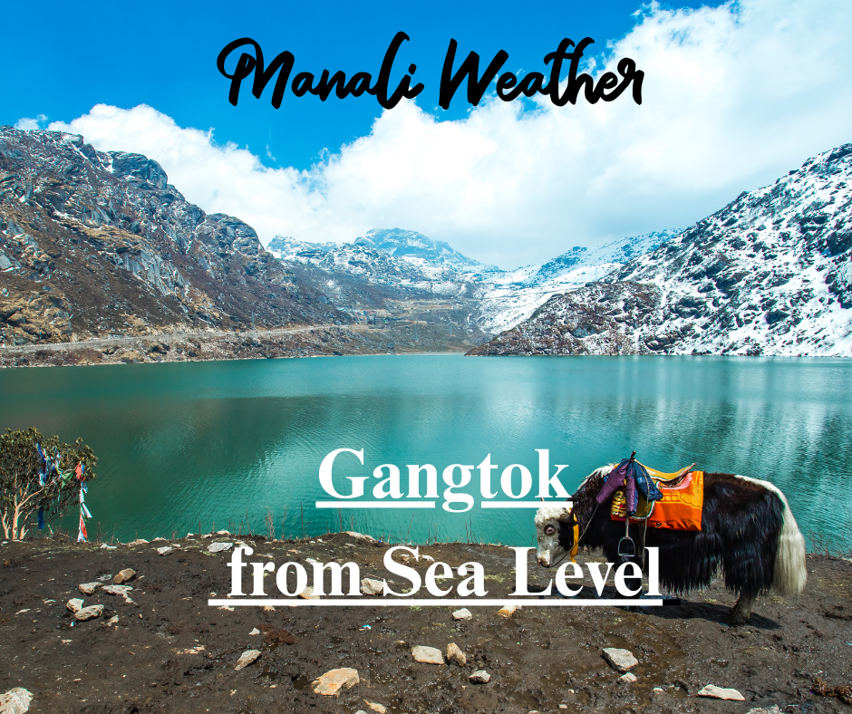
Gangtok Height from Sea Level

Gangtok Height from Sea Level — Gangtok Elevation: Sikkim’s Capital in the Clouds
Accurate, practical information about Gangtok height from sea level, what the Gangtok elevation means for weather and sightseeing, and travel tips for visitors exploring the clouds.

Quick Facts — Gangtok Elevation at a Glance
| Gangtok height from sea level (common figure) | ≈ 1,650 metres (≈ 5,410 ft) — town-level average. :contentReference[oaicite:0]{index=0} |
| Popular nearby viewpoints | Tashi Viewpoint (~1,890–1,900 m / ~6,200 ft), Hanuman Tok, Ganesh Tok — clearer mountain vistas. :contentReference[oaicite:1]{index=1} |
| Why altitude matters | Altitude shapes temperature, precipitation patterns, visibility of Kanchenjunga and seasonal tourism flows. :contentReference[oaicite:2]{index=2} |
What is Gangtok’s elevation (and why numbers vary)
When people search “Gangtok height from sea level” they commonly find a value near 1,650 metres (≈5,410 ft) — this represents the town’s general elevation along the ridge. Different local points (the palace, viewpoints, or higher neighbourhoods) sit slightly above or below that figure, so published numbers may range from about 1,600 m to 1,800 m depending on reference points. :contentReference[oaicite:3]{index=3}
Why that elevation matters for visitors
Being roughly 1.6 km above sea level gives Gangtok a temperate, cool climate compared with the plains. Expect milder summers, crisp mornings, and the chance of chilly nights — and on clear days the town’s elevation provides spectacular views of the Kanchenjunga massif rising nearby. These features are the very reason Gangtok is called Sikkim’s capital in the clouds. :contentReference[oaicite:4]{index=4}
Elevation vs Weather — Simple Comparison
| Feature | Gangtok (≈1,650 m) | Typical Sea-level City |
|---|---|---|
| Summer temperature | Pleasant, cool mornings and evenings | Hotter and often humid |
| Monsoon | Heavy rains possible; lush green vistas | Monsoon varies; often wetter at low elevations |
| Visibility | High on clear days — Kanchenjunga views | Haze and pollution reduce long-range views |
Popular viewpoints & their altitudes
Several Gangtok viewpoints sit higher than the town centre and are worth visiting for clearer mountain panoramas or sunrise photography. Tashi Viewpoint (often quoted at about 6,200 ft) is a short drive up and gives sweeping vistas; Hanuman Tok and Ganesh Tok similarly perch above the valley and are easily accessible by road. These small elevation gains often translate to notably cooler temperatures and improved visibility. :contentReference[oaicite:5]{index=5}
How Gangtok elevation influences tourism seasons
The altitude-driven climate shapes when visitors come. Spring and autumn are favourite windows for clear skies and comfortable days; summer brings pleasant escapes from lowland heat but also the risk of afternoon showers; monsoon months are dramatic for green landscapes but sometimes limit high-altitude excursions; winter brings crisp air and occasional snow in higher nearby areas. Plan with flexibility — elevation means fast-changing weather. :contentReference[oaicite:6]{index=6}
Practical tips for travellers (altitude-aware)
- Allow easy arrival: rest on the first day if you travelled from the plains.
- Pack layers — mornings and evenings are cooler than daytime.
- Carry rain protection in monsoon months; footwear with good grip helps on wet steps.
- Check visibility forecasts before early-morning viewpoint trips if you want Kanchenjunga views. :contentReference[oaicite:7]{index=7}
Gangtok — Elevation Cheat Sheet (useful quick reference)
| Place | Approx. Altitude | Why it matters |
|---|---|---|
| Gangtok (town average) | ~1,650 m (~5,410 ft) | Moderate altitude — cool days, crisp air |
| Tashi Viewpoint | ~1,890–1,900 m (~6,200 ft) | Better chances of clear, long-range views |
| Nearby high passes (e.g., Nathu La) | Much higher (Nathu La ≈ 4,310 m / 14,140 ft) | Require acclimatisation; very different weather |
Final thoughts — Gangtok above sea level
The Gangtok height from sea level is central to its identity: the elevation creates cooler days, dramatic mountain outlooks, and a distinct seasonal rhythm that defines when and how people visit. Whether you’re chasing sunrise light on a ridge, exploring monasteries, or simply enjoying cool afternoons on MG Marg, the town’s altitude is the lens through which the Sikkim experience is best seen.
Target keywords: gangtok height from sea level, gangtok elevation, gangtok altitude, gangtok above sea level
Sources
- Wikipedia — Gangtok (elevation ≈ 1,650 m). :contentReference[oaicite:8]{index=8}
- Encyclopaedia Britannica — Gangtok overview & climate context. :contentReference[oaicite:9]{index=9}
- Local travel pages — Tashi Viewpoint altitude & viewpoint notes. :contentReference[oaicite:10]{index=10}
- Regional tourism reference — Gangtok altitude & tourism tips. :contentReference[oaicite:11]{index=11}
- Gangtok District (official pages) — local elevation references. :contentReference[oaicite:12]{index=12}
Which is Best Shimla Or Manali How to Reach Kullu Manali from Delhi


Great article, super helpful for anyone planning a Gangtok trip! The 1,650 m elevation really explains why it feels so refreshing compared to the plains, and those viewpoint heights make a surprising difference for Kanchenjunga views. If you’re thinking of visiting, these Sikkim tour packages cover Gangtok nicely along with nearby spots like Tsomgo Lake and Nathu La: https://northbengaltourism.com/sikkim-tour-packages/ Thanks for the clear info – definitely bookmarking this.