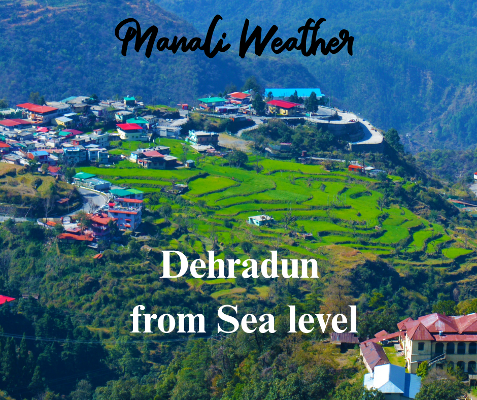
Dehradun Height from Sea Level

Dehradun Height from Sea Level & Dehradun Elevation — Gateway to the Himalayas at the Foothills
Clear, practical information on Dehradun height from sea level, how Dehradun elevation shapes climate and travel, and what visitors should expect at this Himalayan foothill city.

Dehradun Height from Sea Level — the headline numbers
The Dehradun elevation is often reported in different ways because the city stretches across the Doon Valley and includes low-lying urban areas and rising hamlets near the Lesser Himalaya. Official and popular sources commonly quote values between ≈ 435–640 metres (≈ 1,430–2,100 ft) above sea level — the apparent spread reflects local variation across neighbourhoods and the wider district. :contentReference[oaicite:0]{index=0}
Why the numbers vary
Dehradun is not a flat, single-elevation plate — parts of the city (for example Clement Town) sit lower in the valley, while places near Malsi, Mussoorie road and the surrounding foothills are much higher. Many sources therefore give a single “typical” elevation for the central city and separate figures for higher local points; both approaches are correct within their context. :contentReference[oaicite:1]{index=1}
Dehradun Elevation — quick reference table
| Place / Metric | Approx. Elevation | Notes |
|---|---|---|
| Dehradun (commonly cited city level) | ≈ 435–450 m (≈ 1,430–1,480 ft) | Figures used by district and geographic summaries. :contentReference[oaicite:2]{index=2} |
| Alternative common reference | ≈ 640 m (≈ 2,100 ft) | Some tourism and educational sources use this higher “town average”. :contentReference[oaicite:3]{index=3} |
| Higher local points (Malsi / foothills) | ≈ 700–1,000 m (≈ 2,300–3,280 ft) nearby | Hilly outskirts and approaches to Mussoorie are significantly higher. :contentReference[oaicite:4]{index=4} |
How Dehradun’s altitude shapes weather and seasons
Because Dehradun lies at the Himalayan foothills, its climate mixes plains-style warmth with cooler hill influences. Summers are generally warm but far more pleasant than lowland cities deeper in the plains; monsoons deliver heavy rain and verdant forests; winters can be chilly with cool nights — and higher surrounding points may see fog or light snowfall in very cold spells. The varied elevation across the district creates microclimates that visitors and residents notice within short drives. :contentReference[oaicite:5]{index=5}
Elevation vs. weather — simple comparison
| Feature | Dehradun (≈450–640 m) | Nearby higher hills (≈700–1000 m) |
|---|---|---|
| Summer feel | Warm but moderate compared to plains | Cooler by several degrees |
| Monsoon | Heavy rain, lush valley | Frequent mist and cloud forests |
| Winter | Cool nights; occasional cold waves | Colder nights; fog, possible light snow higher up |
What Dehradun’s elevation means for travelers
The Dehradun altitude makes the city a comfortable year-round gateway to the Himalayas: month-by-month, you’ll find cooler respite in summer, dramatic monsoon greenery, crisp autumn visibility, and cooler winters. Practical tips:
- Carry light layers year-round — mornings and evenings are cooler than plains.
- During monsoon, expect slippery paths and reduced visibility in valleys — waterproofs and good footwear are useful.
- If you plan side trips to higher hills (Mussoorie, Malsi, Dhanaulti), pack warmer clothing — temperature drops quickly with altitude gain.
- If you have respiratory or cardiac concerns, talk to your doctor before high-altitude day trips (nearby hills can reach 700–1,000 m+).
Dehradun elevation — local landmarks & approximate heights
| Place | Approx. Elevation | Why it matters |
|---|---|---|
| Dehradun city core | ≈ 435–450 m (≈ 1,430–1,480 ft) | Comfortable, accessible base for region travel. :contentReference[oaicite:6]{index=6} |
| Malsi / approaches to Mussoorie | ≈ 700–1,000 m | Higher, cooler hills; entry to hill stations. :contentReference[oaicite:7]{index=7} |
| Kempty / lower valleys | ~1,300–1,400 m (nearby spots vary) | Popular picnic and waterfall areas, different microclimate. |
FAQ — quick answers
Q. What is Dehradun’s height from sea level?
A. Dehradun’s commonly cited city elevations vary: many sources show ≈ 435–450 m (≈1,430–1,480 ft) for the central city while other references list ≈ 640 m (≈2,100 ft) as a town-level average — both are used depending on context. :contentReference[oaicite:8]{index=8}
Q. Will I feel altitude sickness in Dehradun?
A. No — at 400–700 m serious altitude sickness is uncommon. Shortness of breath on steep climbs is normal; higher excursions to 1,000 m+ are still low-risk for most travellers.
Q. When is the best time to visit?
A. October–March for clear views and cooler weather; April–June is pleasant for summer escapes. Monsoon (July–Sept) shows the region at its greenest but brings heavy rain. :contentReference[oaicite:9]{index=9}


2 thoughts on “Dehradun Height from Sea Level”